GIS Internship — Plan4Better GmbH




Plan4Better GmbH · Munich, Germany · January 2024 – March 2024
Formal MSc Internship (Pflichtpraktikum) — RWTH Aachen University
Supervised by Dr.-Ing. Andreas Witte & Prof. Dr.-Ing. Tobias Kuhnimhof
About Plan4Better & GOAT
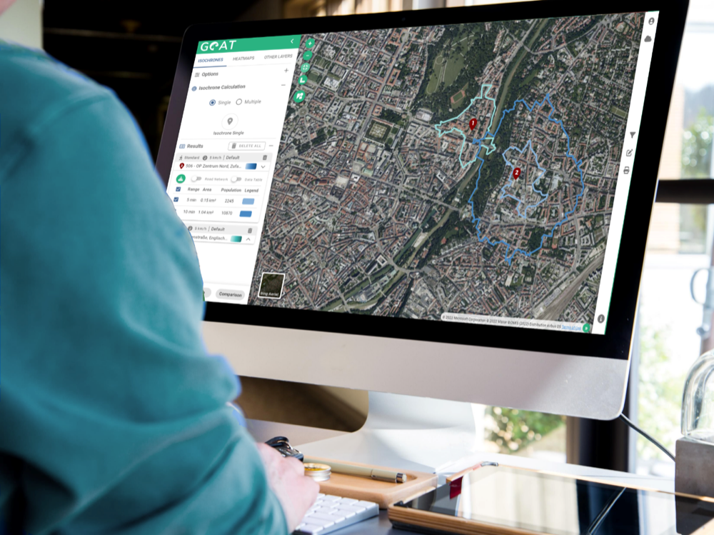
Plan4Better is a Munich-based company specialising in data-driven planning tools for sustainable mobility and urban planning. Their flagship product, GOAT, is an open-source WebGIS platform for integrated urban and transport planning.
GOAT provides isochrone and multi-isochrone generation, public transport quality classes (ÖV-Güteklassen), Walkability Index calculation, local accessibility heatmaps, active mobility routing and average departure counts for public transport stops.
Projects Undertaken
Selected work is now publicly available: the Augsburg accessibility and walkability analysis has been published by Plan4Better. Other client work remains confidential.
Accessibility & Walkability Analysis — Augsburg
Population density analysis, public transport quality class assessment, POI accessibility analysis and heatmaps, and Walkability Index calculation across the study area. Outcome: actionable spatial insights for the city's mobility plan.
Parking Facility Accessibility — Amberg City Centre
Catchment area calculation using driving and walking times, accessibility analysis from parking facilities to key POIs, and isochrone-based gap identification. Outcome: recommendations for optimising parking locations.
Supplemental Parking Analysis — POI to Car Park Walking Distances, Amberg
Digitised parking locations from a PDF source in QGIS, independent walking-distance analysis from POIs to car parks, isochrones for multiple walking-time thresholds. Outcome: insights into alignment between parking and urban mobility needs.
Mobility Analysis — Hassels & Reisholz, Düsseldorf
Land use suitability assessment for shared mobility stations, public transport quality and accessibility evaluation, and scenario analysis for introducing new mobility hubs. Outcome: evidence base for e-scooter and e-bike expansion.
Pedestrian Network Isochrones vs. Circular Buffers — Augsburg
Modified SQL scripts to implement pedestrian network isochrones within the GOAT backend, compared accessibility results under both approaches, and demonstrated measurable differences between Euclidean and network-based catchments. Outcome: more accurate accessibility measurements for transport planning.