QGIS Geometry Generator — RegioStar

Overview
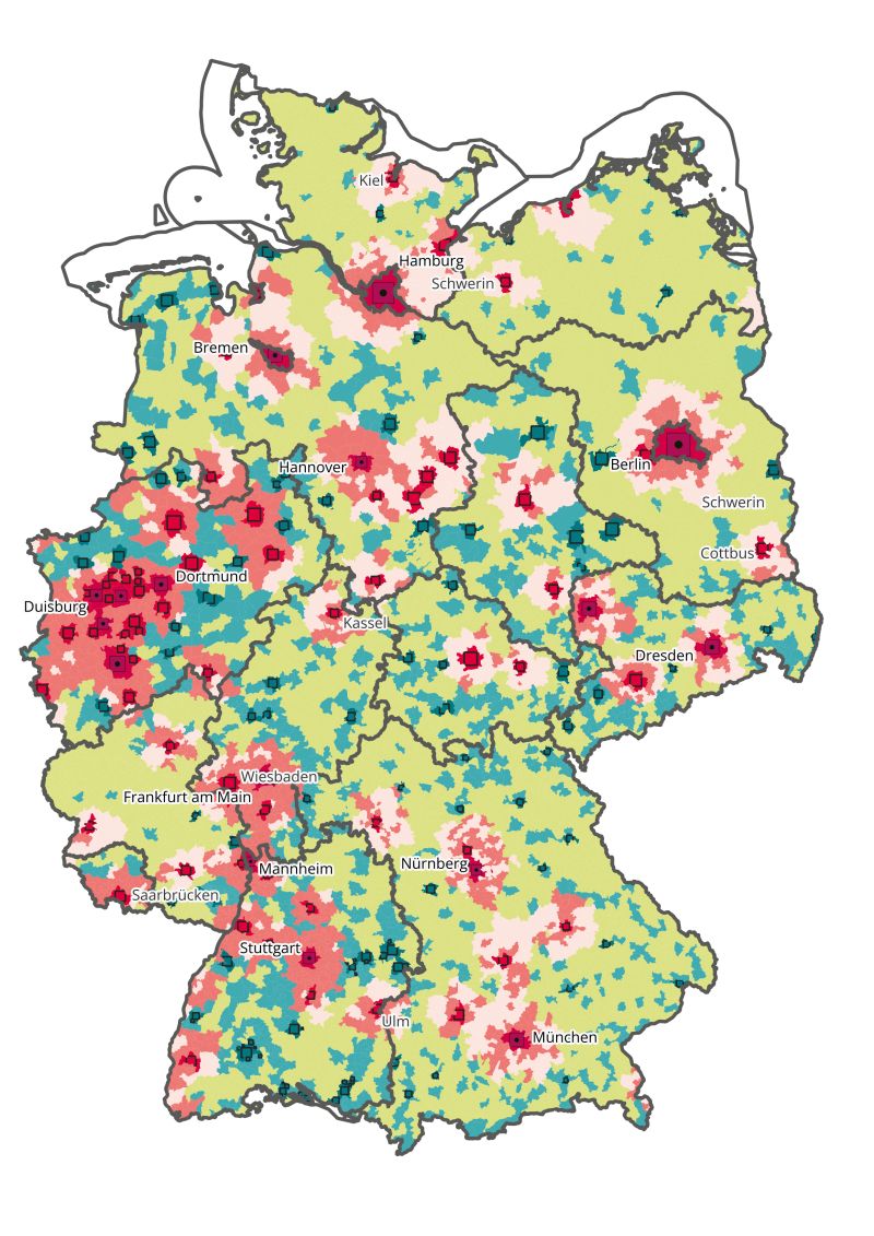
This project uses QGIS Geometry Generator expressions to create dynamic, data-driven cartographic visualisations of Germany's RegioStar regional classification system. Geometry generators allow complex visual representations to be computed on-the-fly without creating new datasets.
Workflow
Follow the process. Expand a step for the details.
01RegioStar Data Integration
Imported RegioStar classification data and joined to NUTS/municipality boundaries in QGIS.
02Geometry Generator Expressions
Wrote custom QGIS geometry generator expressions to create proportional symbol overlays and dynamic polygon transformations driven by classification values.
03Map Composition
Composed final map layout using QGIS Print Layout with multiple geometry-generated layers for a clean, multi-dimensional visualisation.
Tools & Technologies
- QGIS Geometry Generator (QGIS Expression Engine)
- RegioStar classification data (BBSR)
- QGIS Print Layout for cartographic output
Outcome
Produced a visually distinctive cartographic output that communicates regional classification hierarchies more effectively than standard choropleth mapping, demonstrating advanced QGIS symbology techniques.