Overview
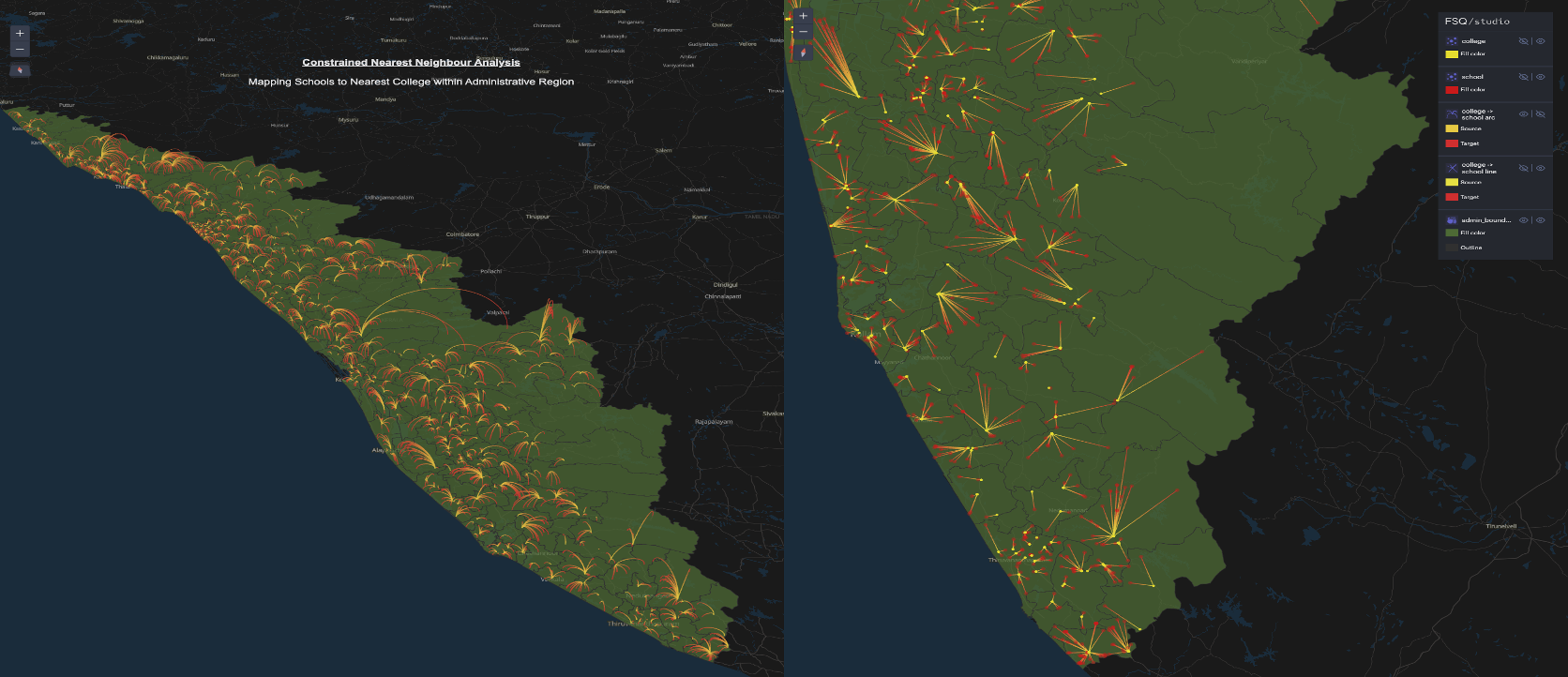
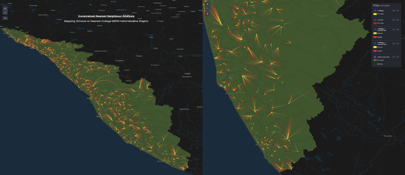
An entry for the #SpatialAnalysisChallenge by Spatial Thoughts — exploring educational proximities in Kerala, India (God's Own Country). The analysis unravels the spatial relationships between schools and their nearest colleges within the same administrative regions, uncovering distances and proximity patterns across Kerala.
A personally meaningful project — navigating through Kerala's educational landscape brought back memories of school and college days while revealing fascinating spatial insights about the state's infrastructure.
Methodology
Data Integration
Integrated school and college data layers in QGIS, linking each institution to its administrative region for a region-constrained proximity analysis.
Shortest Distance Memory Layer
Used QGIS expressions and geometrical computations to build a detailed memory layer "shortest_distances", capturing the nearest college for each school within the same administrative boundary.
Spatial Insights
Analysed the resulting distances to shed light on urban development, infrastructural planning and educational accessibility across Kerala's districts.
Tools & Technologies
- QGIS — expressions and geometrical computations
- Memory layer creation ("shortest_distances")
- Foursquare Studio for interactive map publishing
Outcome
Produced a spatial analysis of Kerala's educational institution proximities, providing insights into school-to-college distances, urban planning considerations and accessibility across the state.