To understand how a municipal geoportal serves data, I studied the publicly visible services of Stadt Herne and built a small local comparison environment using open municipal data.
01 / QUESTION
How is municipal geodata stored, published and displayed?
I examined Herne’s public geoportal and service responses to understand the relationship between data storage, OGC map services and their clients. I tested the services directly in a web browser and in QGIS Desktop, then recreated those roles locally with three open datasets: childcare centres, accessible toilets and public-transport stops, all in EPSG:25832.
PostGISSame data layer→QGIS ServerProject-based service→⌘Web browserDirect QGIS Server map
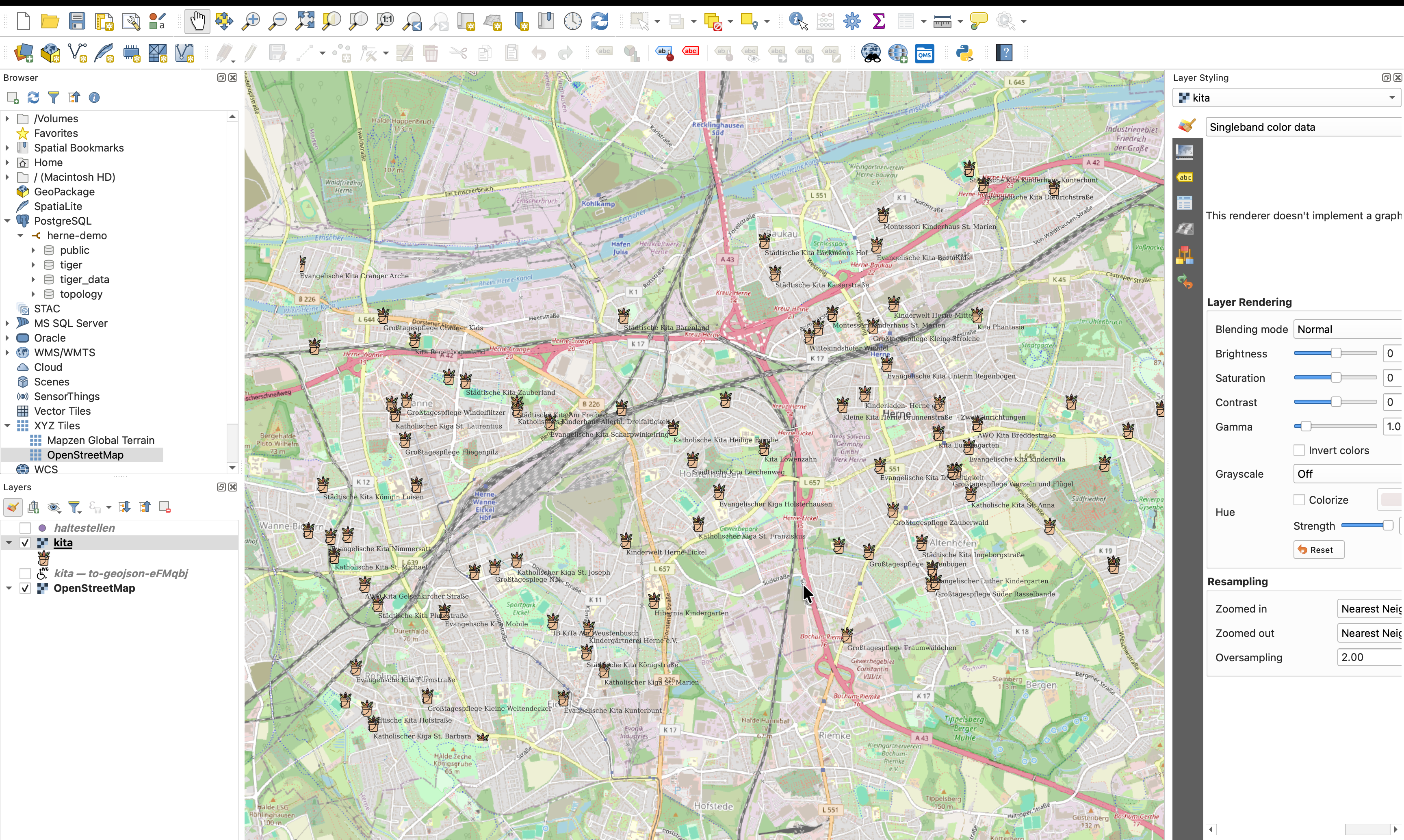
QGIS Desktop was also used as a second client to load the GeoServer WMS over a basemap.
02 / GEOSERVER
Publish a PostGIS layer as a standards-based map service.
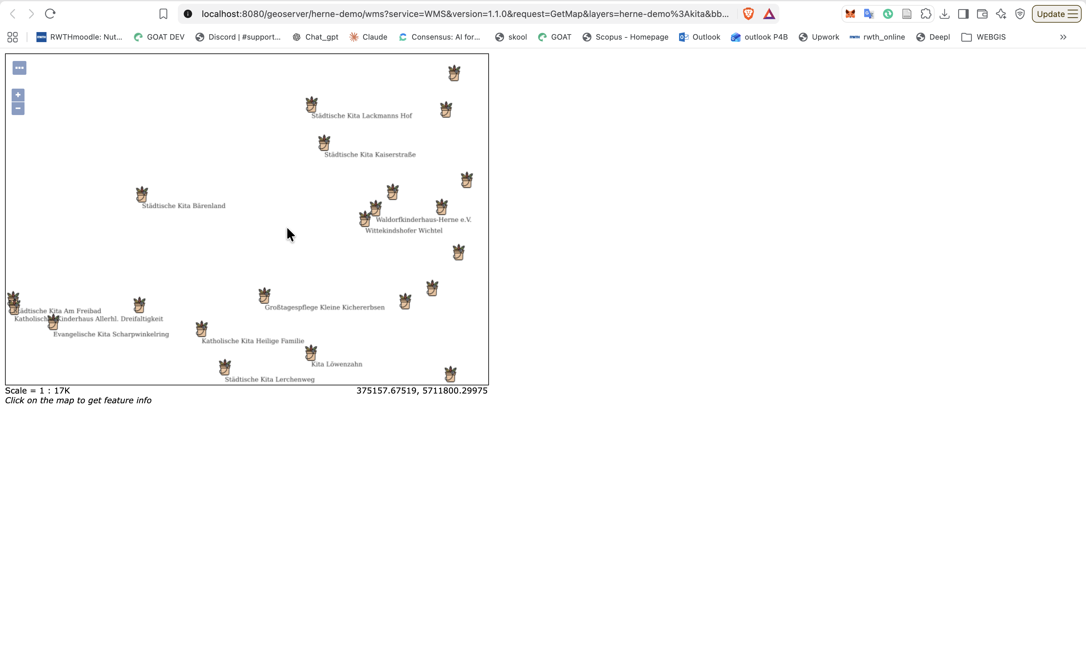
I loaded the open data into PostGIS and published the childcare layer through GeoServer. A custom SLD style added the point symbols and labels. I checked the WMS directly in a browser and also loaded it in QGIS Desktop above an OpenStreetMap basemap.
GeoServer rendering the custom SLD: external point icon and label from the dataset.Local service study: PostGIS → GeoServer WMS → QGIS Desktop client.
03 / QGIS SERVER
Compare a project-based service with GeoServer.
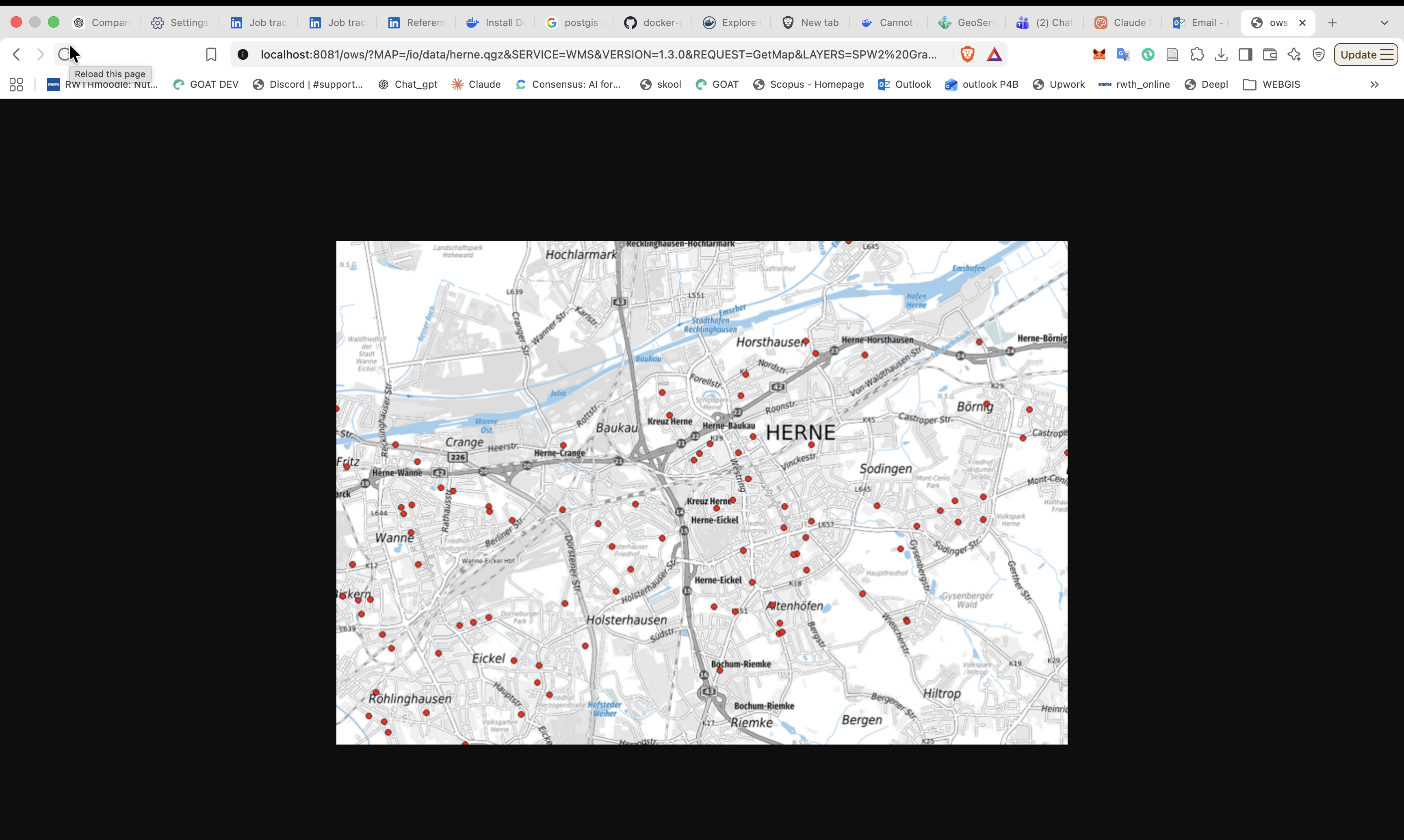
I also connected the same database layer to QGIS Server. Here the QGIS project file provides the layer configuration, rendering and labels. This made the practical difference visible: GeoServer uses separate server configuration and SLD styles, whereas QGIS Server renders the QGIS project itself.
QGIS Server rendering the local QGIS project with the same PostGIS data.
04 / DATA MAINTENANCE
Who changed what — and when?
A shared layer needs clear responsibility. I used a database trigger so that every edit automatically records the user and modification time. A second trigger writes the previous record to a history table, while read, edit and admin roles control who may change the layer.
When a user edits the layer in QGIS, the trigger automatically records who changed it and when; the prior version is retained in the history table.
SCOPE
A study environment, not a city deployment.
This was a short, self-directed local study using public data and Docker containers. It helped me understand how PostGIS, GeoServer, QGIS Server, WMS/WFS and desktop clients connect. It was not a production service for Stadt Herne and did not use municipal internal data or systems.
 PostGISOpen-data layers


 GeoServerWMS/WFS · SLD style